Geospatial Engineering
Geospatial engineering is an important part of civil engineering construction projects. Before construction work starts, precise mapping and planning is a critical part of the project process.
Responsibilities – Geospatial engineers can be responsible for:
Specialisms – You may specialise in any of the following areas:
- Computer-based measuring to map the best position
- Producing up to date plans
- Setting out a site so that structures are built to scale in the right place
- Monitoring the construction process
- Providing control points so the future movement of structures, such as dams or bridges, can be monitored
Specialisms – You may specialise in any of the following areas:
- Land/Engineering surveying (preparing maps and plans to ensure that construction takes place to the dimensions and tolerances required)
- Hydrospatial (measuring and mapping all parts of the earth’s surface that are covered by water)
- Photogrammetry and remote sensing (producing an area plan from photographic images and using electromagnetic energy to obtain information about objects without touching them)
- Geographic Information Systems – GIS (collecting and presenting geographical information)
- Geospatial Information Management
- Utilities and Subsurface Mapping (the measurement, definition and portrayal of the characteristics of buried services)
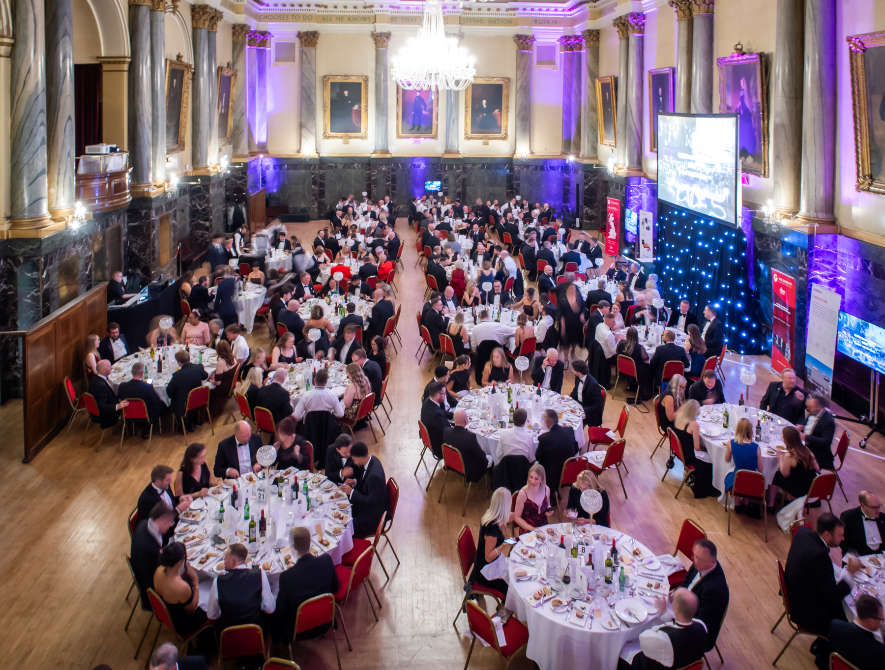
Thousands raised for charity at CICES 2025 Annual Dinner
A total of £3,765 was raised for charity during the CICES annual dinner, which was held at Cutlers’ Hall on 26 September.
CICES appoints former teacher as education outreach manager to strengthen industry ties
CICES has appointed qualified teacher Rachel Hames to the role of education outreach manager; a newly created role designed to expand the institution’s engagement with the education sector.
CICES appoints leading quantity surveyor as its youngest ever president
Meet your CICES president for 2025-26, Turner & Townsend associate director, Alexandra Pearsall.
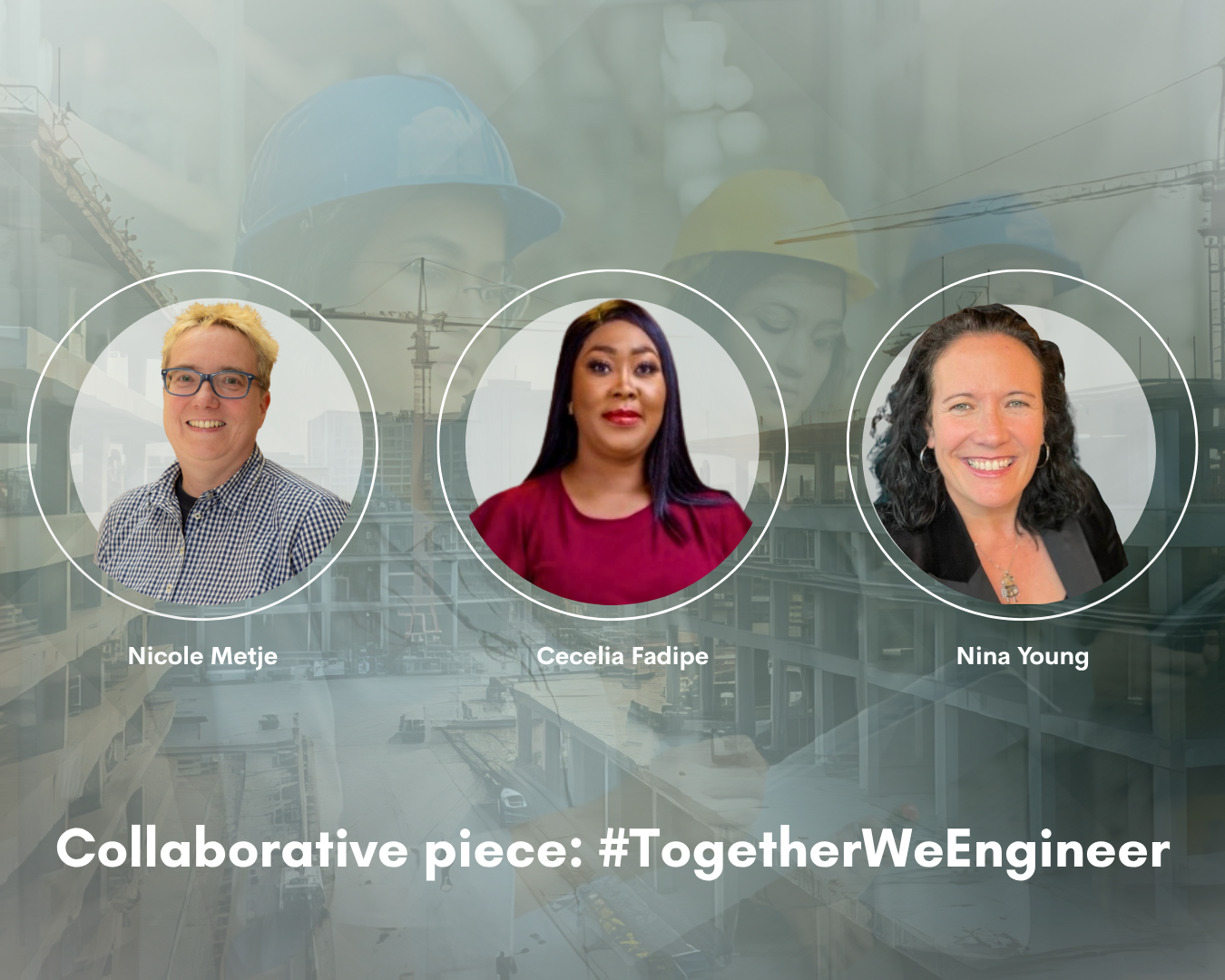
Building a stronger profession: insights from women driving change in the sector
Joint Q&A blog featuring expert women in civil engineering surveying to address the future of the sector they hope to see...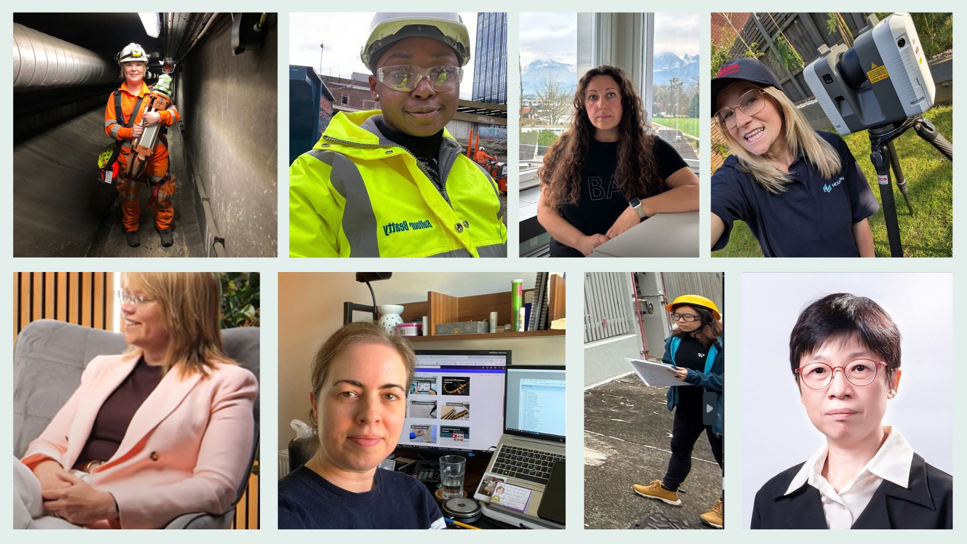
International Women in Engineering Day 2025
Hear from our members what being a woman in engineering means to them...
Volunteers' Week - A thank you + how you can get involved
Highlighting contributions of members + covering ways you can get involved.
Membership benefit: gain a professional qualification
The post nominal letters that CICES members gain represent a professional qualification with real-world advantages.
Membership benefit: career progression
CICES members say that membership helps advance their career.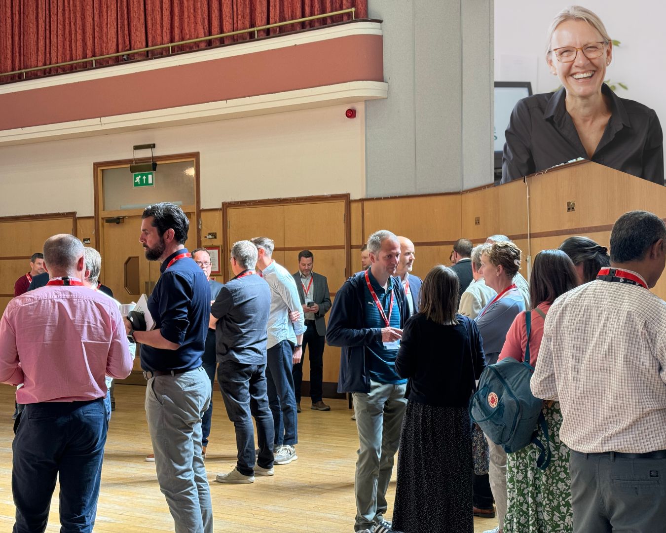
Geo:Influence launch – a day of inspiration and an emphasis on momentum
Initiative launched 14 May 2025 by the Survey Liaison Group.
An introduction to the Conflict Avoidance Coalition
Charles Edwards FCInstCES, chair of the CICES C&DR Panel, in conversation with Len Bunton, chair of the Conflict Avoidance Coalition.
An affirmation of our commitment to equity, diversity and inclusion
A re-iteration of some of our institution's core values during an uncertain political landscape.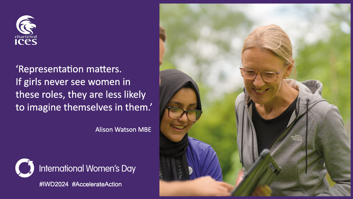
'Accelerate action' – International Women's Day 2025
With the theme of #AccelerateAction, IWD on Saturday 8 March 2025 aims to speed up progress towards gender equality.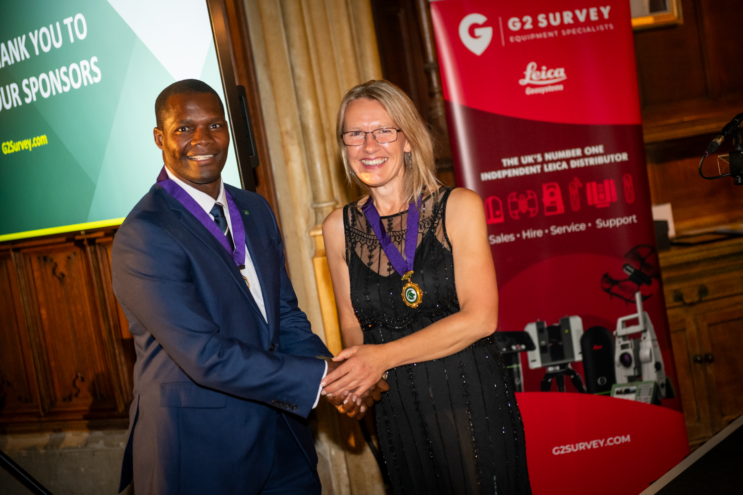
CICES Annual Dinner 2024
Who won, who attended and who looked great at the CICES Annual Dinner 2024 at King's College, Cambridge.
CICES president Alison Watson MBE
CICES president for 2024-25, Class Of Your Own founder and CEO, Alison Watson MBE.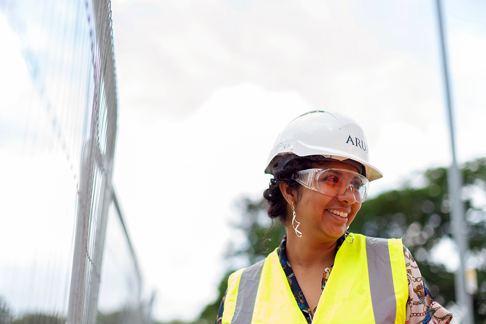
International Equal Pay Day: Working towards parity and fairness
What should be done to addres the gender pay gap in our sector?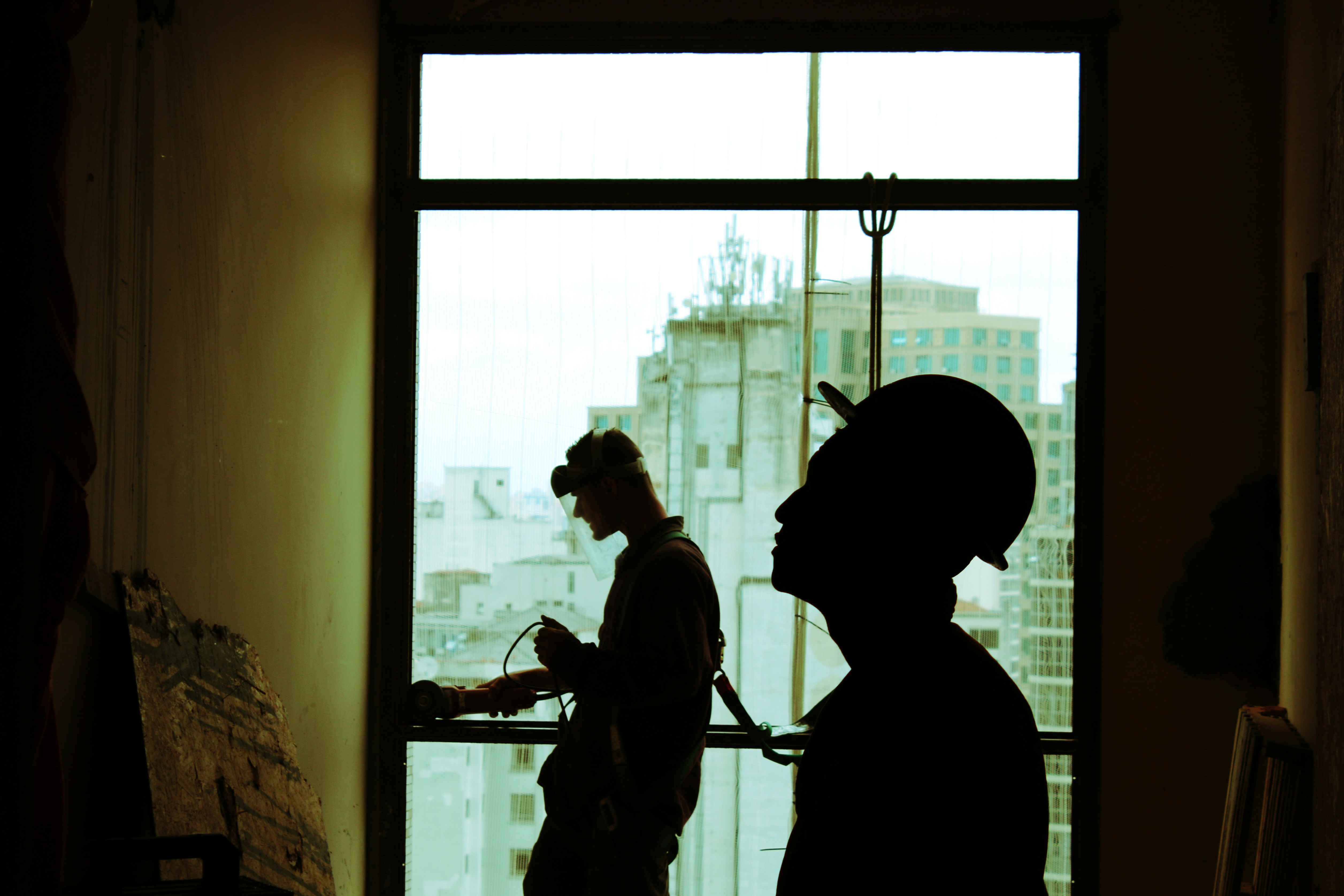
World Suicide Prevention Day 2024: Changing the narrative on suicide
Suicide rates in the construction industry are 3.7x the nation average. What can be done?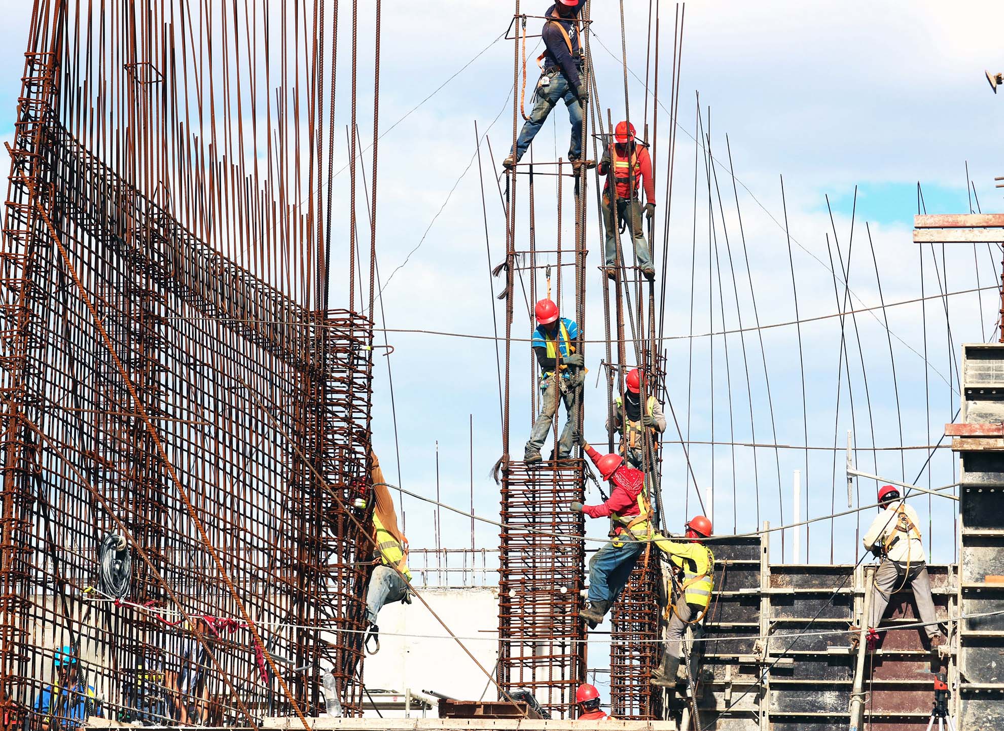
World Day for Safety and Health at Work 2024
This year's theme: 'Impacts of climate change on occupational safety and health'.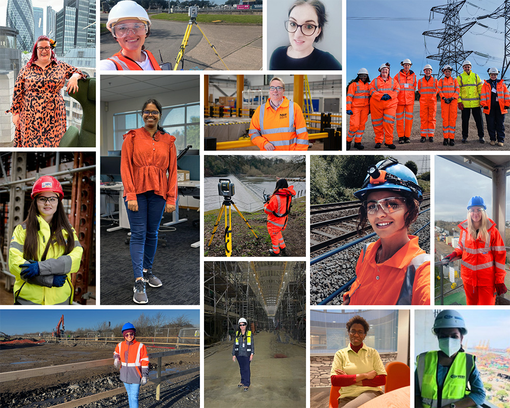
Celebrating CICES members: Women in Construction Week
Women in Construction Week - time to highlight women that work in construction and acknowledge that there is still a long way to go to achieve equity.
Membership benefit: employer validation
CICES members can benefit their employers and wider industry, as well as enhancing their own careers.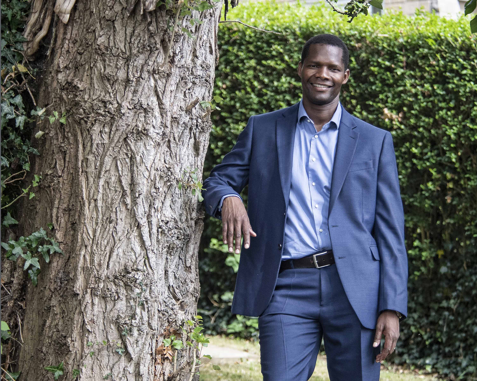
New CICES president Batsetswe Motsumi
Meet your CICES president for 2023-24, Costain's Batsetswe Motsumi.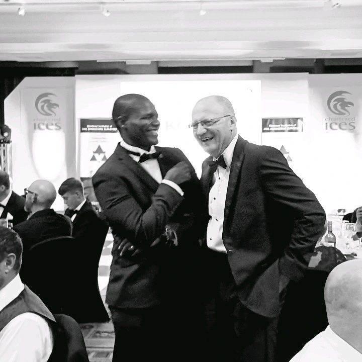
CICES Annual Dinner 2023
Our Annual Dinner and awards evening was held at Manchester's Midland Hotel
Membership benefit: events and networking
CICES members can attend dozens of events, both in-person and online.
CICES Women's Network
Have your say in the formation and delivery of the new CICES Women's Network.
Membership benefit: sector leading publications
CICES members can access sector leading publications online or by post.
Membership benefit: Affect your community
CICES members can shape what happens in their region.
Electronic voting now available
CICES Privy Council has approved an amendment to the charter to enable members to vote electronically.
Equity, diversity and inclusion name change
The EDI Council and our EDI policy both now refer to 'Equity, diversity and inclusion'.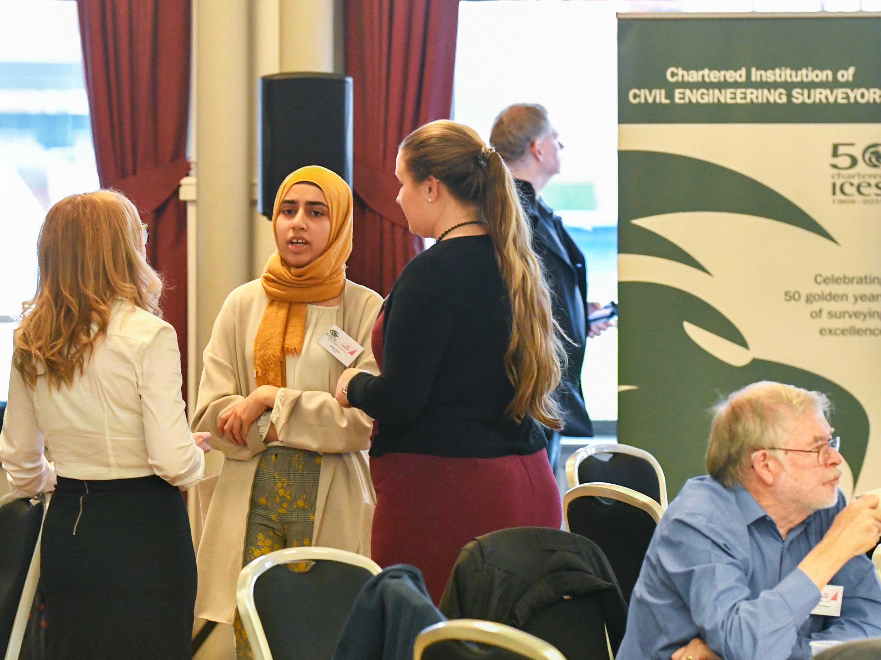
Membership benefit: CPD opportunities
CICES members can access an unrivalled and varied range CPD opportunities.
Membership benefit: make a difference
CICES members can help change society for the better.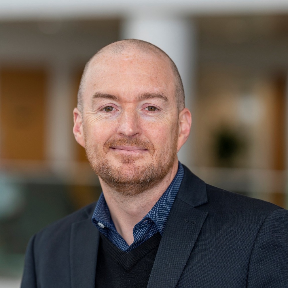
New EDI chair Simon Navin
Simon Navin is the newly appointed chair of the CICES Equity, Diversity & Inclusion Council.
World Human Rights Day
What steps should our industry take to avoid human rights abuses?
Men's Health Awareness Month
Ahead of International Men's Day and during Men's Health Awareness Month, what mental health support is available for CICES members?
Construction Leadership Council Industry Sponsor roles
The CLC is recruiting for four new industry sponsors.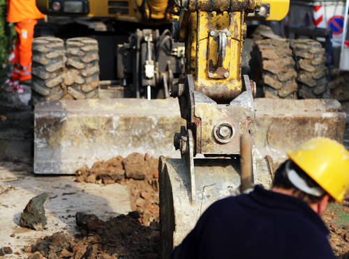
PAS128 guidance
A newly published client specification guide.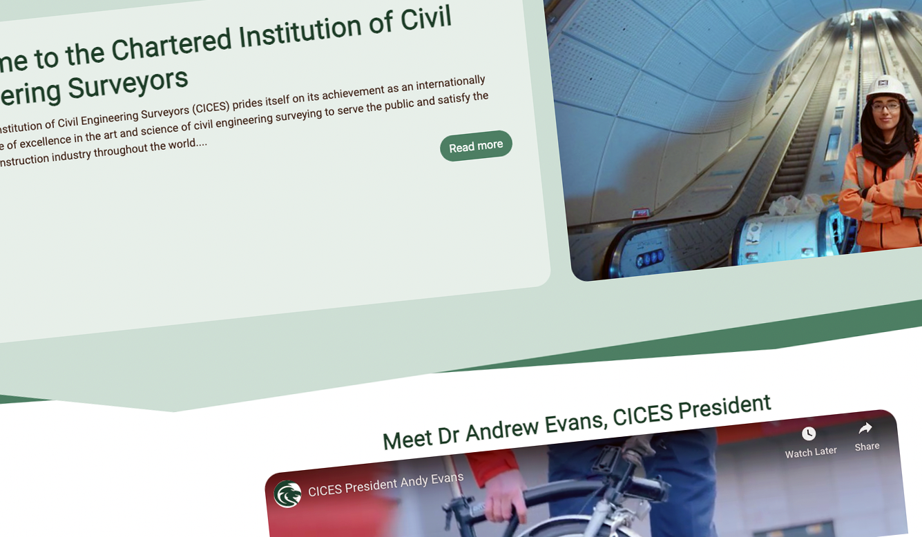
New CICES website
Welcome to the new CICES website
New Council of Management
At the recent AGM, CICES president Andy Evans recently welcomed new members to our Council of Management (CoM).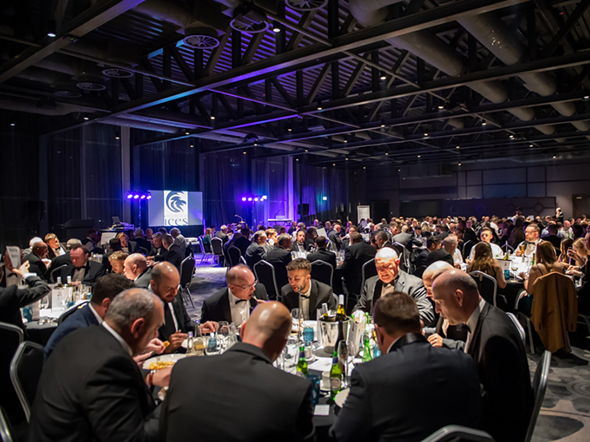
Institution dinner
Our annual CICES awards night and Institution dinner, was held at Liverpool's Titanic Hotel.
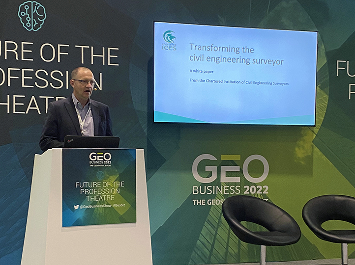
Sustainability white paper - your contribution
Sustainability white paper: a call-to-action from President Andy Evans.